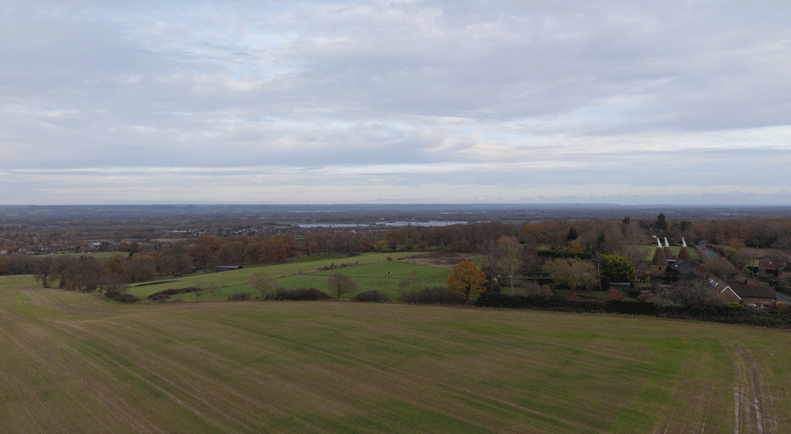
UAV Drone Surveys
We perform site visits every week and at times it has been helpful to capture a site or building at a height greater than the prevailing ground level. In addition, there are occasions when a more detailed survey of the roof structure has been required, particularly because its condition is difficult to assess from most viewing angles. We are Licenced UAV Drone Operators and adhere with the UK
Civil Aviation Authority (CAA) recommended and mandatory guidelines. Some of the restrictions to our specific drone model is flying within a radius of 3 Miles (5 Kilometres) of an airport, within close proximity or over a school, or near crowds. Smaller airfields are permissible with the relevant approval of the owner and a schedule that minimises risk to aircraft.
Ordnance Survey Maps
As a complimentary service to our clients, we can acquire Ordnance Survey Maps, these are used to create Location & Site Plans; a requirement of most Planning Applications. In addition, we have access to historic Mapping and Aerial Photography, the latter is often used as evidence for proposed buildings and alterations. All of this information can be attained within minutes and not days, keeping us to any agreed upon schedule for time sensitive projects.
Infrared Photography and Video
During 2018 we invested in an Infrared camera for use with electrical works, locating hot services and structure location. This technology can potentially diagnose damp and other building failures that are apparent through temperature variations.